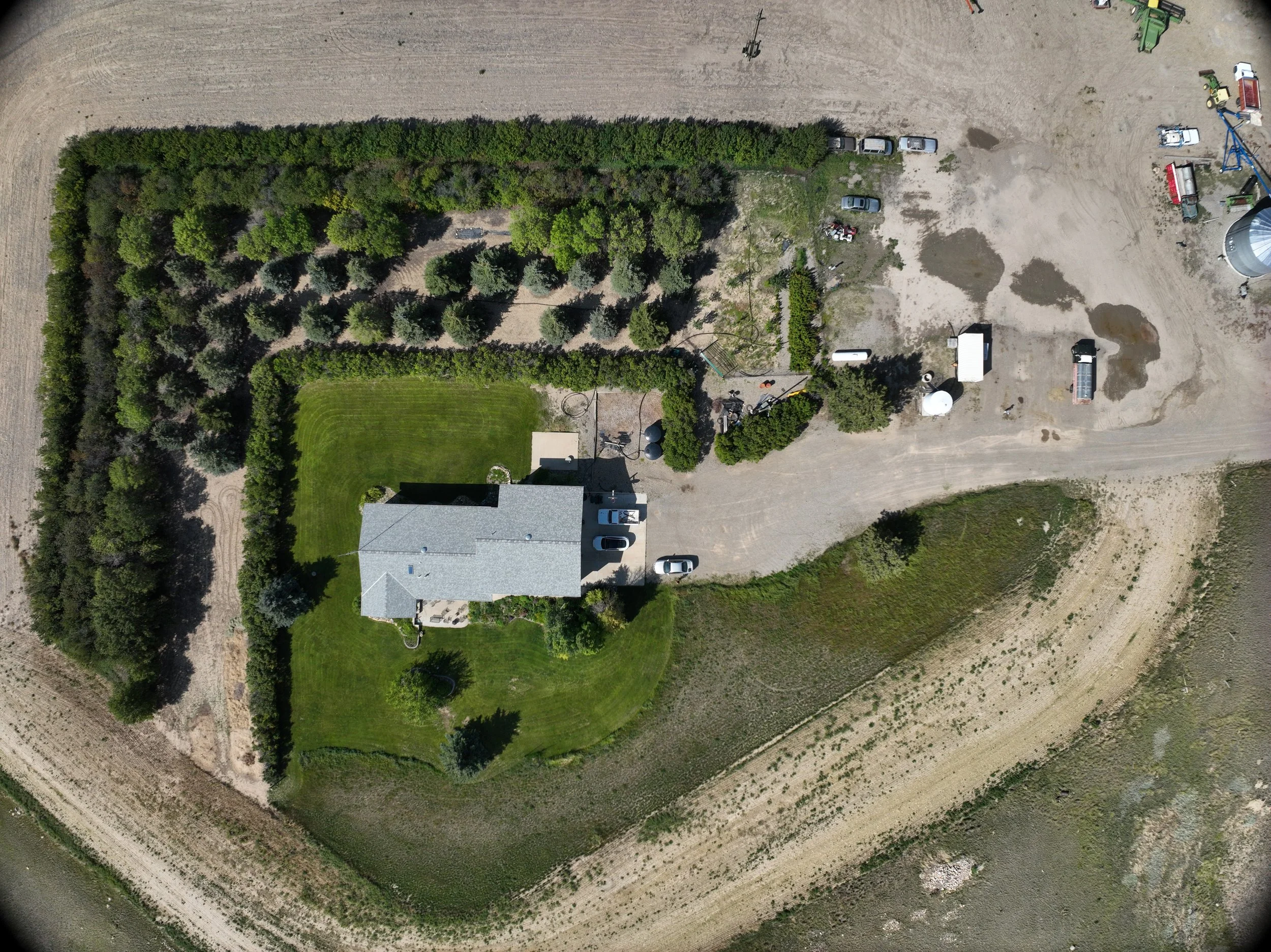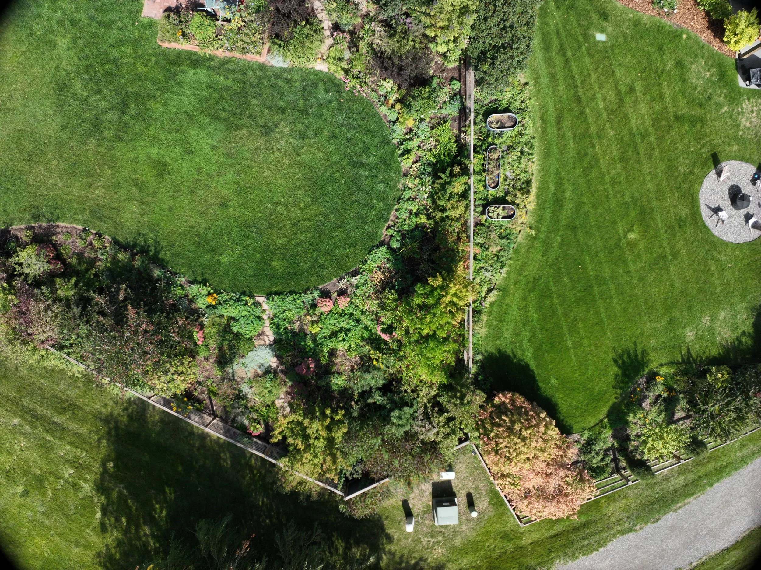
An elevated Perspective On Your Landscape, Property, or Project
When you need a solution, we will give you the whole picture.
Professional aerial imaging and two decades of landscape expertise serving homeowners, businesses, and green industry professionals across (Southwest) Montana.
How can we help?
-
If you are noticing decline, patchiness, stress, or something just “off” in your landscape - but it’s hard to pinpoint the cause from the ground.
Plant Health Assessment: We use horticultural expertise and multispectral imaging to detect early signs of stress, disease, and environmental imbalance—often before symptoms are visible to the eye.
-
You’re planning a project, redesign, or investment and need accurate, objective information about what’s actually there
Property Mapping: Aerial mapping and site documentation that gives you a clear, usable picture of your property for planning and decision-making.text goes here
-
You’re managing a landscape installation, construction project, or site work and need consistent visual records to stay organized and accountable.
Project Documentation & Monitoring: Scheduled aerial imaging and mapping to track progress, coordinate work, and communicate clearly with teams and clients.
-
You want to showcase a completed project, market a property, or highlight your work with high-quality aerial visuals.
Marketing Photography & Aerial Media: Professional drone photography and video that captures scale, detail, and context.
-
You need tailored aerial data collection for research, environmental studies, experimental plots, or unique project requirements that don’t fit standard commercial packages.
Custom Aerial Imaging Solutions: Flexible drone-based imaging and mapping designed to support research, analysis, and specialized data needs with high attention to accuracy and methodology.
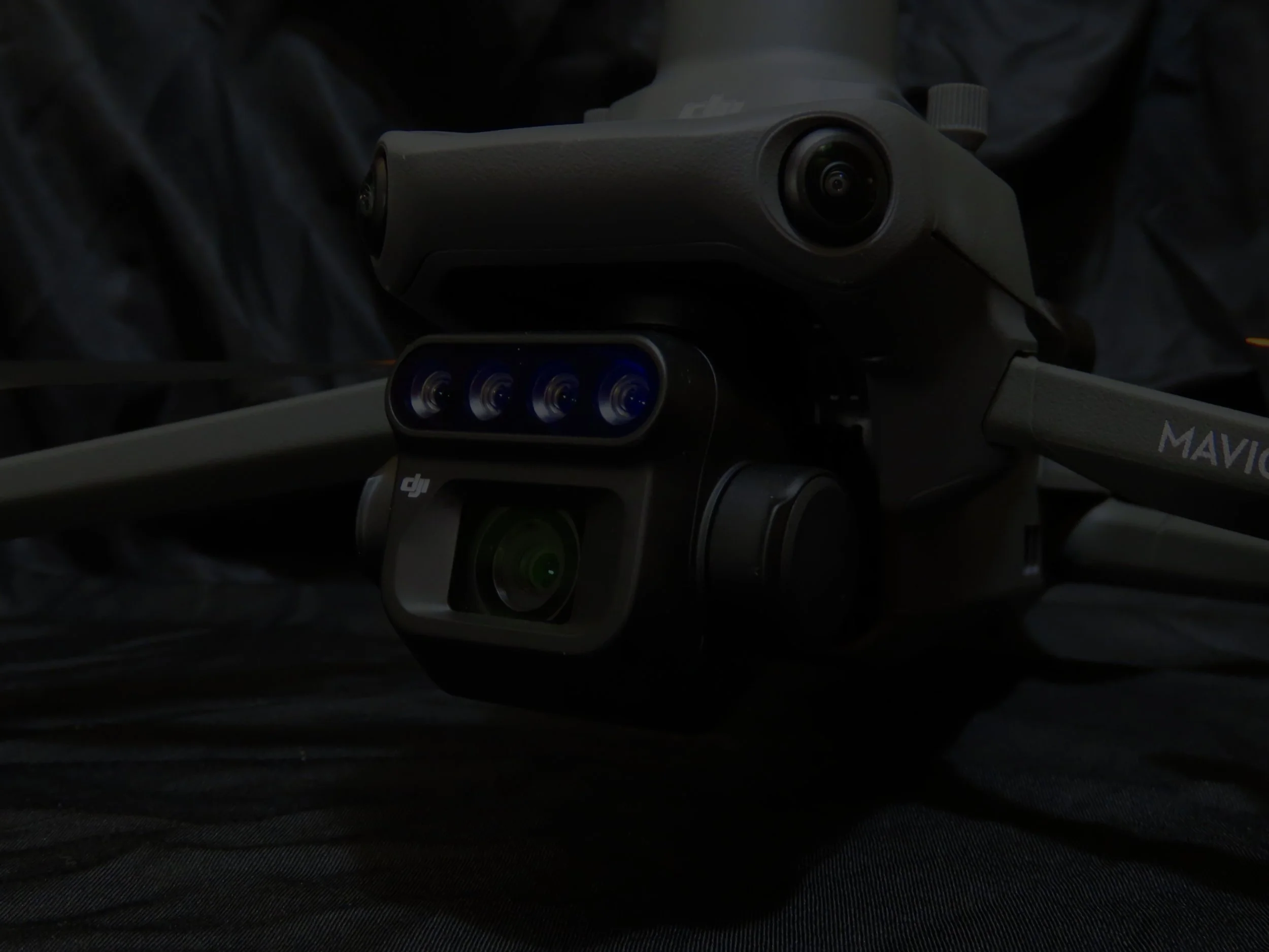
Why KO Drones?
More than drone imagery. Better decision-making from above.
Montana's landscapes are unique. From high-elevation properties and irrigation challenges to diverse soils and microclimates, understanding the land requires local knowledge. That’s why decades of hands-on experience in Montana's green industry paired with advanced aerial technology can make all the difference.
With deep regional knowledge of horticulture, plant diagnostics, and landscape project management, we don’t just capture data, we interpret it in context.
That means you’re not just seeing a property from above. You’re understanding it.
Who we work with
Homeowners
Nurseries
Landscape Contractors
Arborists
Homeowners Associations
Municipalities
Property Managers
Agricultural Producers
Developers
Commercial Property Owners
Researchers
Designers
And More…
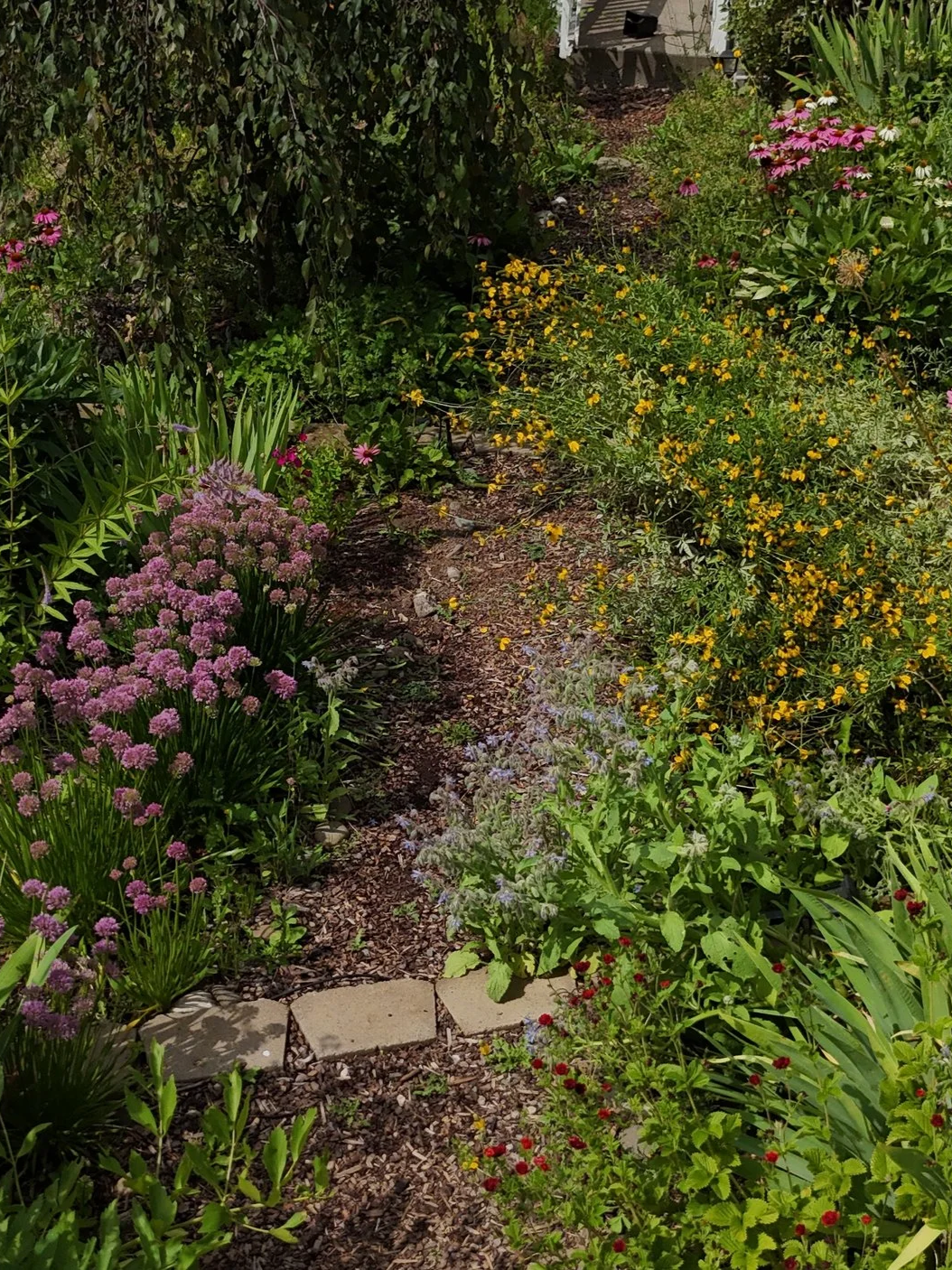
Ready to see your project more clearly?
Whether you're solving a problem or planning ahead, KO Drones helps you understand your landscape from a complete perspective.